Dolomiti Paganella Bike park trail map
TRENTINO, ITALY
TRENTINO, ITALY
Paganella sits above Lake Garda in the Dolomiti di Brenta, with dramatic vertical terrain and a dense network of gravity-fed trails. The existing map needed greater clarity, depth, and seasonal flexibility to match the park's rapid growth.
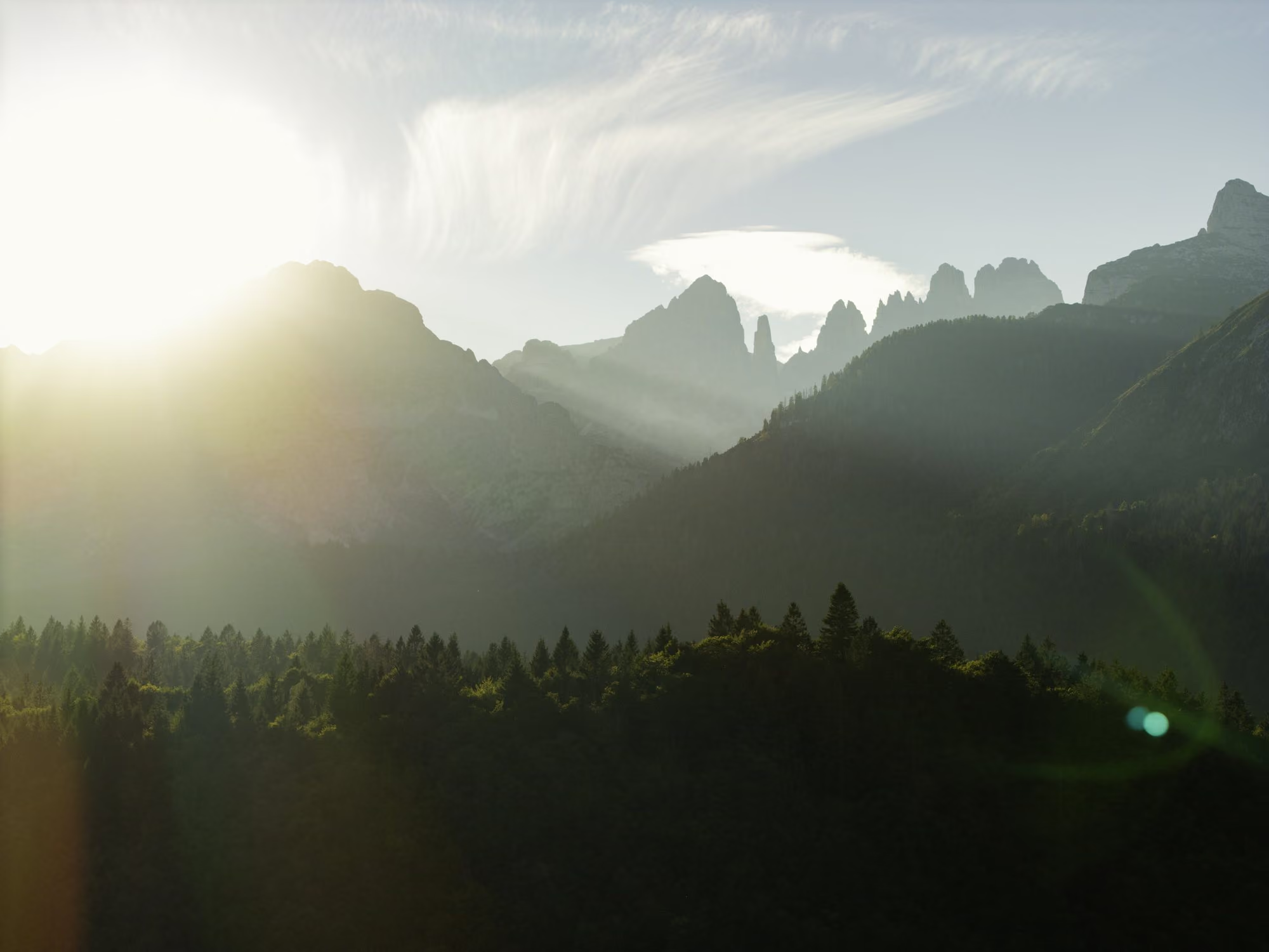
Mapping a world class destination like Paganella requires more than satellite imagery. Scale, flow, density, community, forest feel, and sightlines reveal themselves differently on the ground, and those nuances shape how the final map is composed.
02
Riding between resort areas through town helped us understand not just the physical routes, but the rhythm of the experience. That movement informed how we framed transitions and connections within the final map.
01
We spent our first day on the mountain with our guide, Gianmarco, studying how Paganella's three distinct zones connect across the valley. A central challenge of the map was clearly communicating those relationships while preserving the park's vertical drama.
04
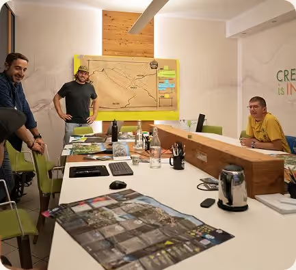
We reviewed an early composition with the Paganella team on-site, aligning on perspective, terrain distortions, and trail clarity. Presenting the sketch in person allowed us to resolve key structural decisions early and move into full illustration with confidence.
03
We conducted aerial surveys to capture detailed reference of the terrain, lift infrastructure, and surrounding village. Working from firsthand imagery allowed us to build a more precise and grounded illustration.
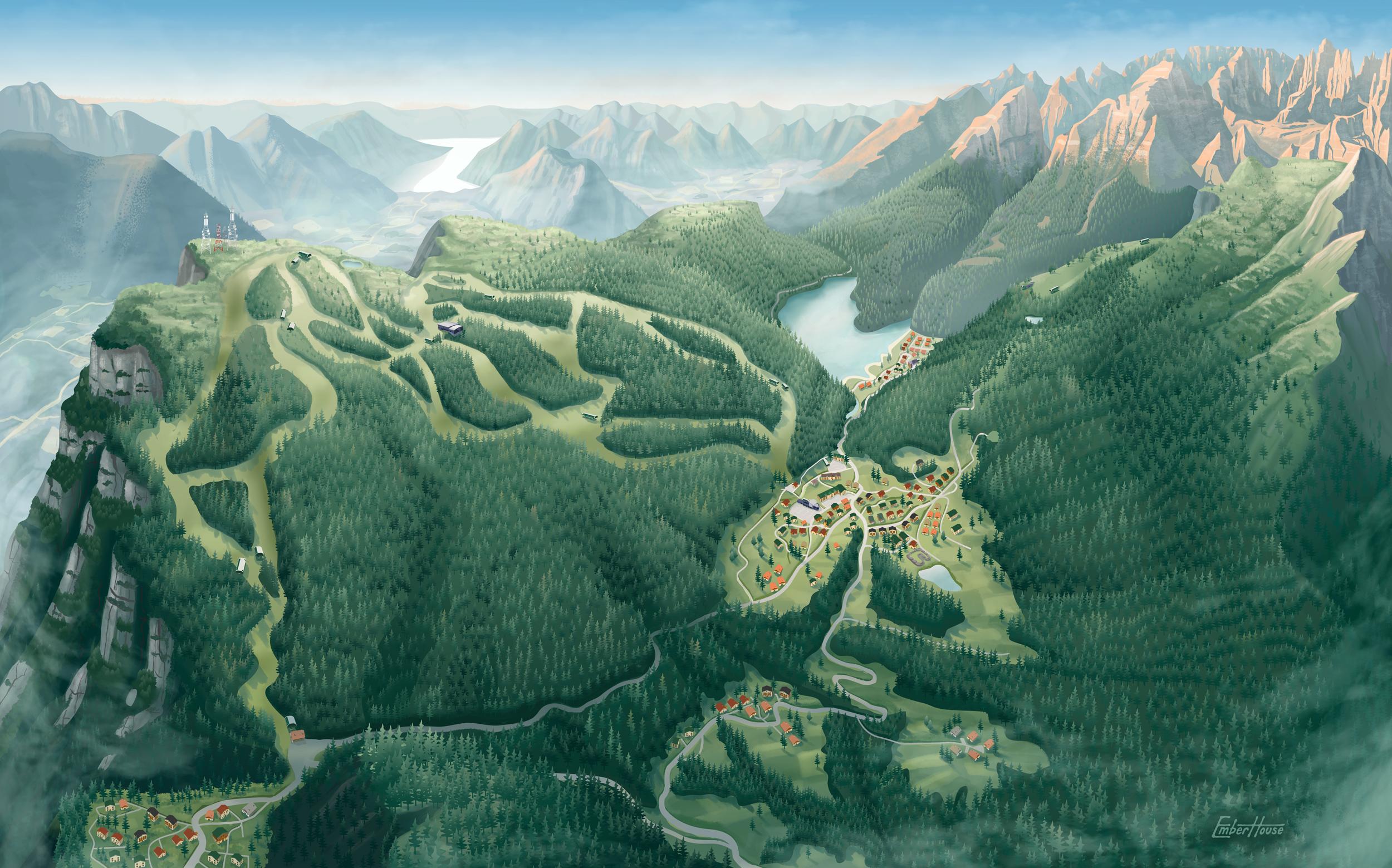
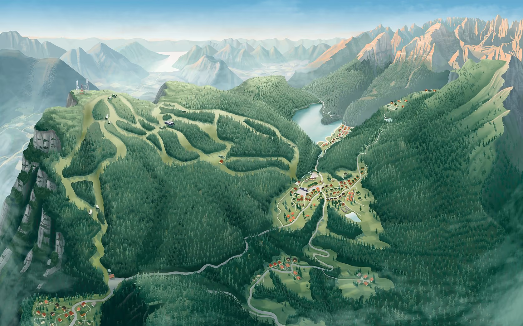
With perspective aligned on site, we moved into sketch and color development. Paganella previously relied on separate, top-down topographic maps for each zone, so our task was to unify the entire park into a single cohesive view. Drawing from aerial reference, historical mapping, 3D terrain modeling, brand standards, and guest flow data, we composed one continuous perspective that brings all three zones into a readable whole. The terrain was carefully shaped to clarify relationships across the valley, creating a vantage point no rider can experience at once in real life. Visually, the map reflects Paganella's alpine character: the pale glow of the Dolomites, dense forest canopy, high-elevation scrub, and the warmth of the surrounding Italian villages.
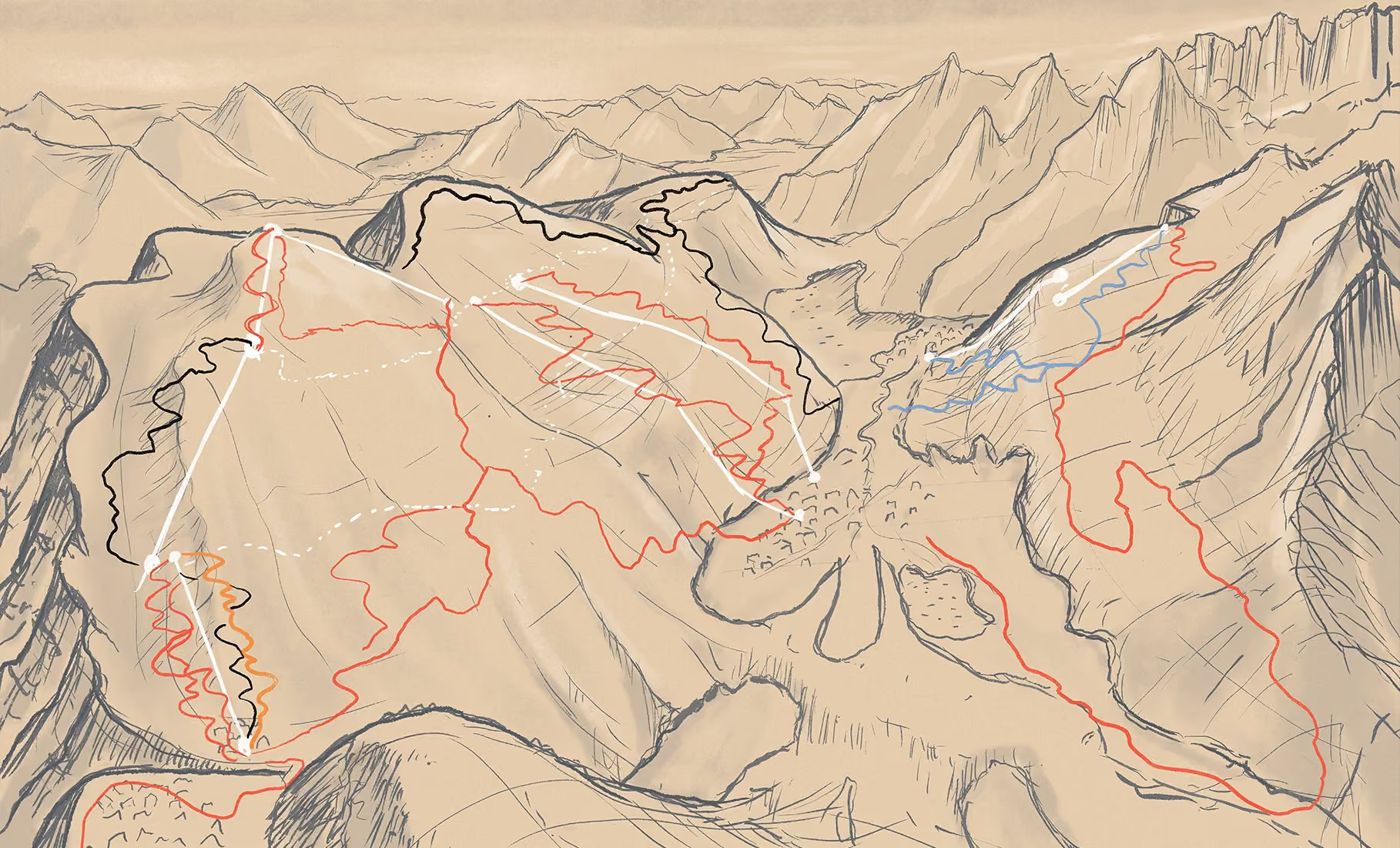
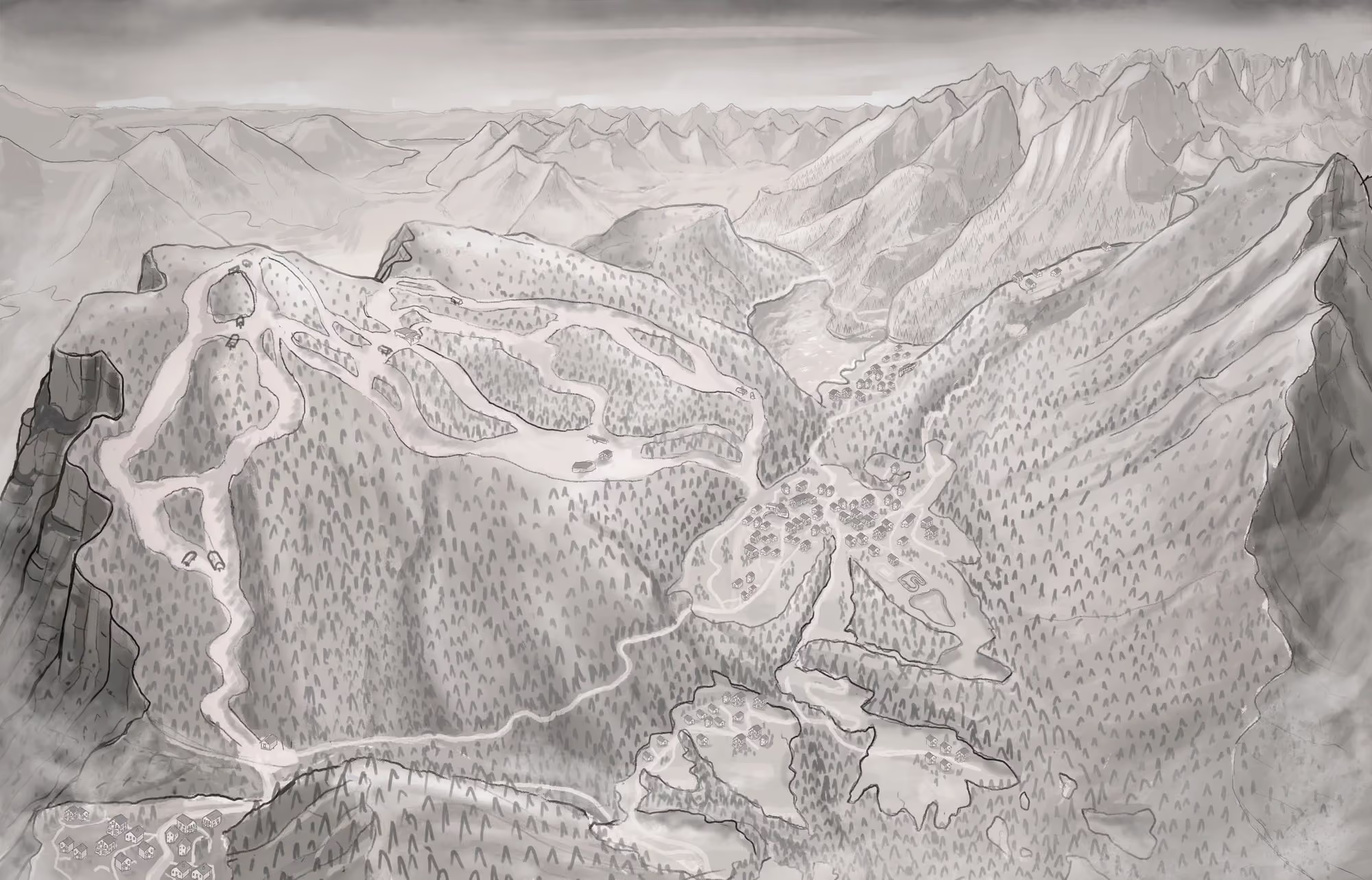
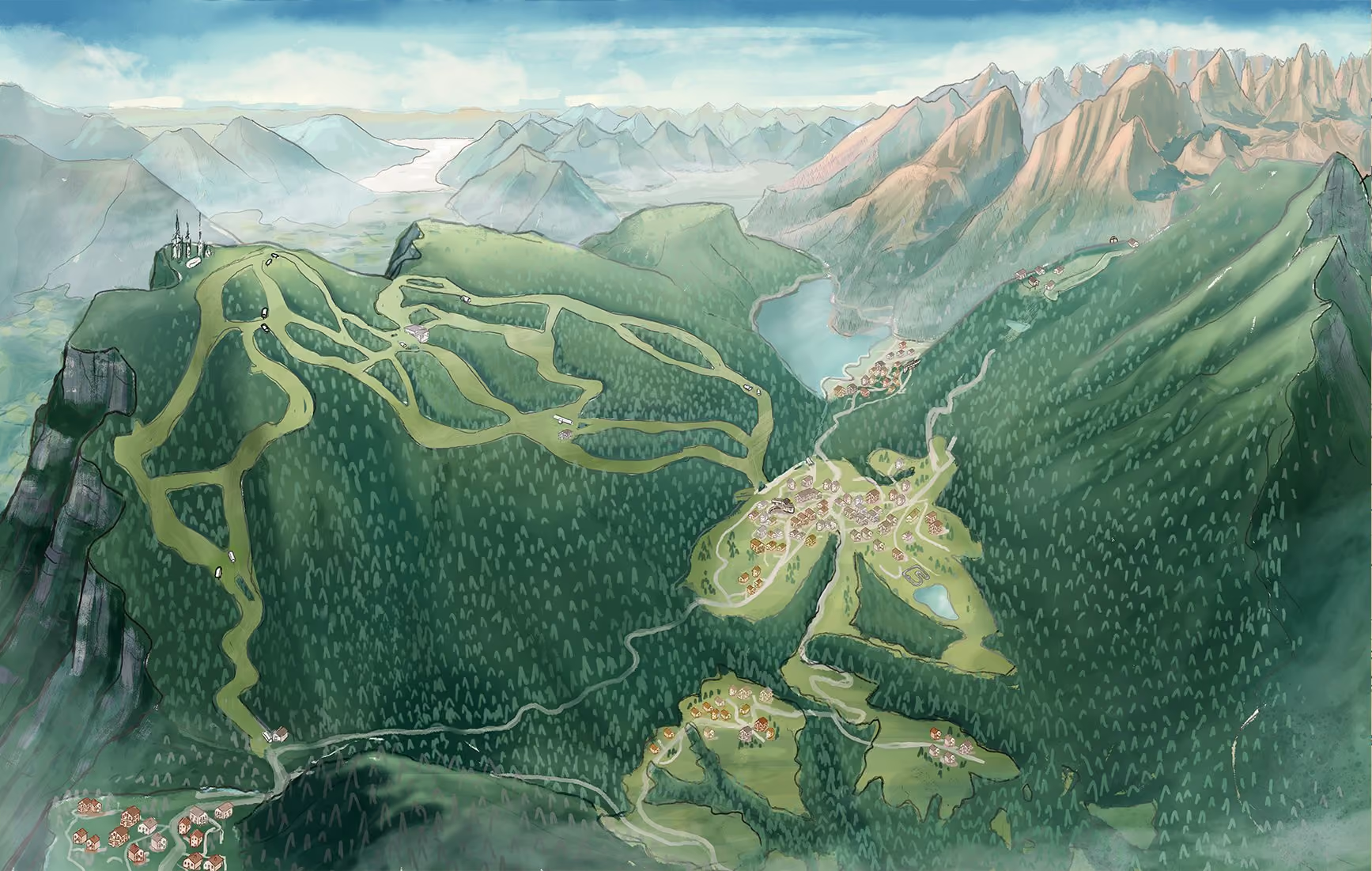
The finished illustration now serves as the visual foundation for Paganella Bike Park’s maps across the resort. From large-format trailhead signage and a prominent lightbox at the ticket window to printed maps and digital use, the same landscape creates a consistent sense of place wherever guests encounter it. Paganella's internal team handled adding lifts, trails, and other key related items.
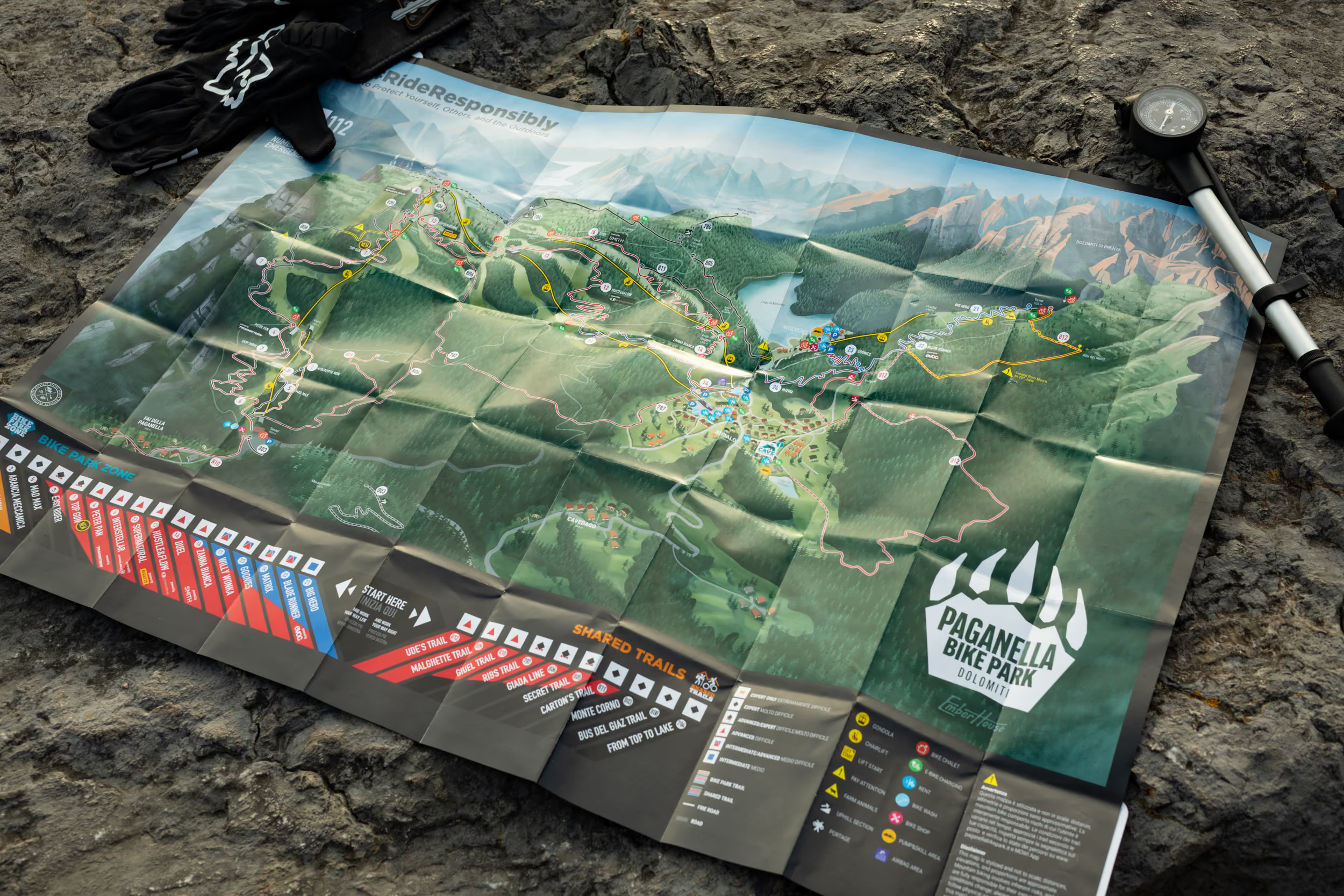
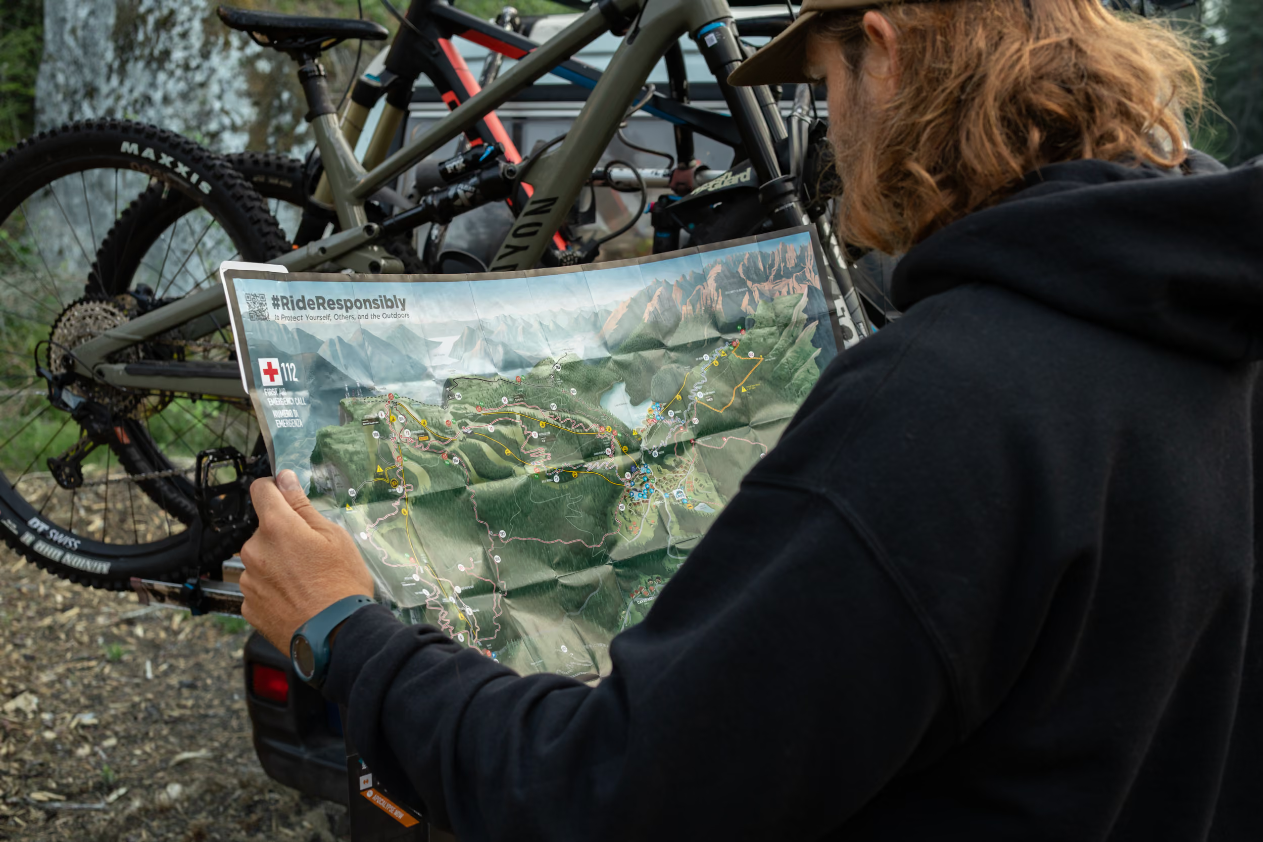
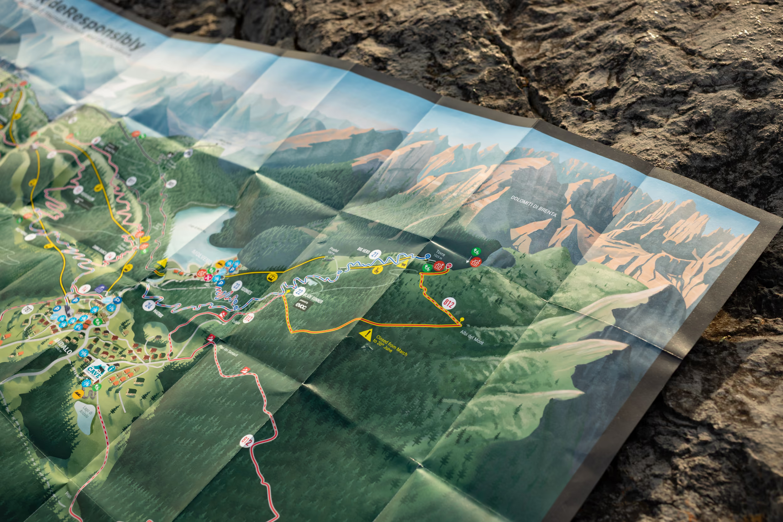
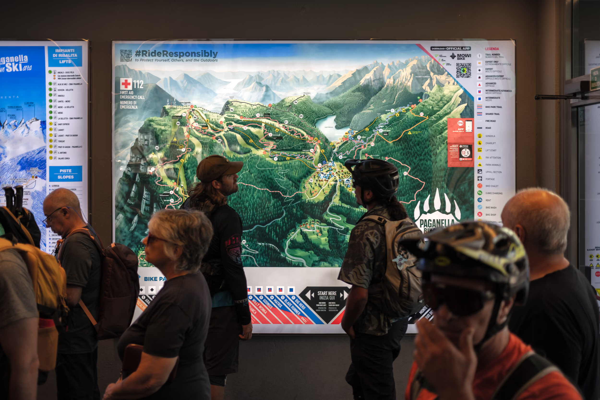
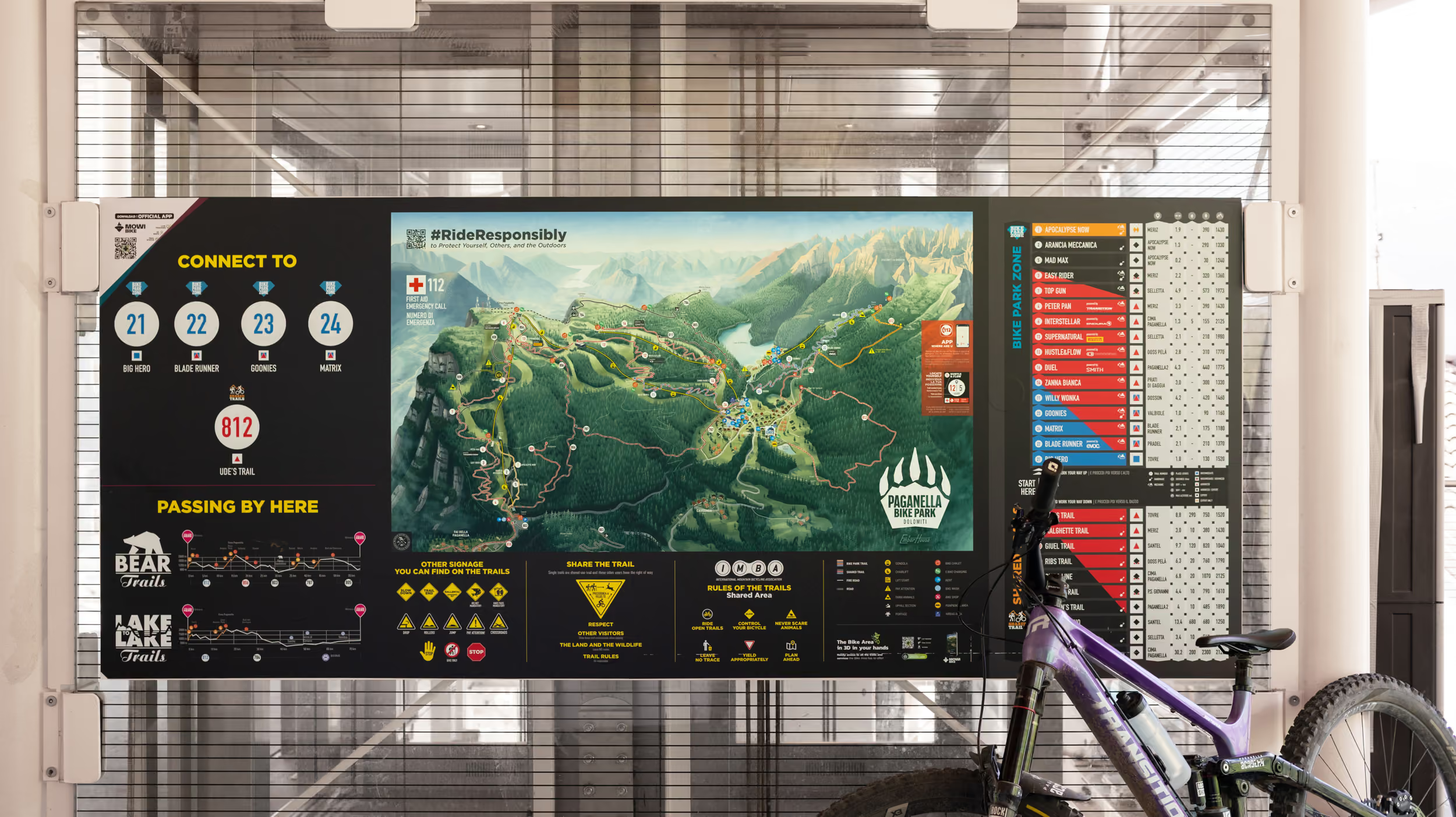
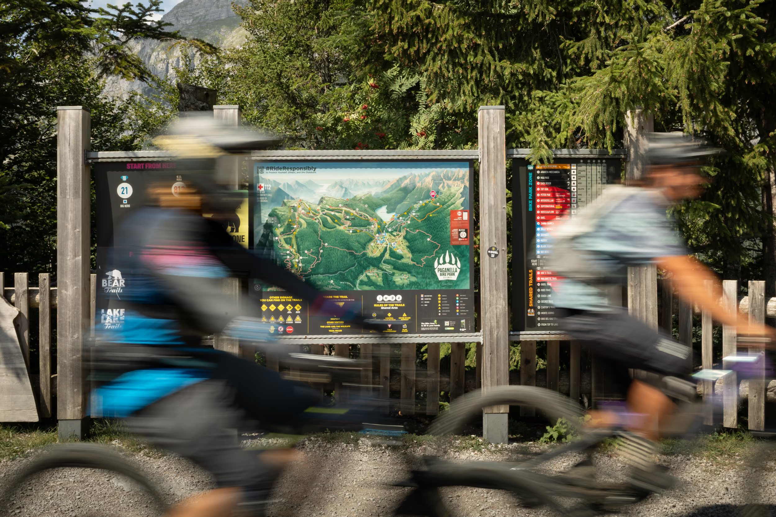


We had a super positive experience working with the Emberhouse team. They brought a highly professional and clear approach to our main challenge: making our Bike Park easier to navigate. The team completely nailed it, delivering a map that is not only clear and immersive, but also beautifully tells the story of our territory and captures its unique essence. Well done!
Luca d'Angelo
Visit Paganella

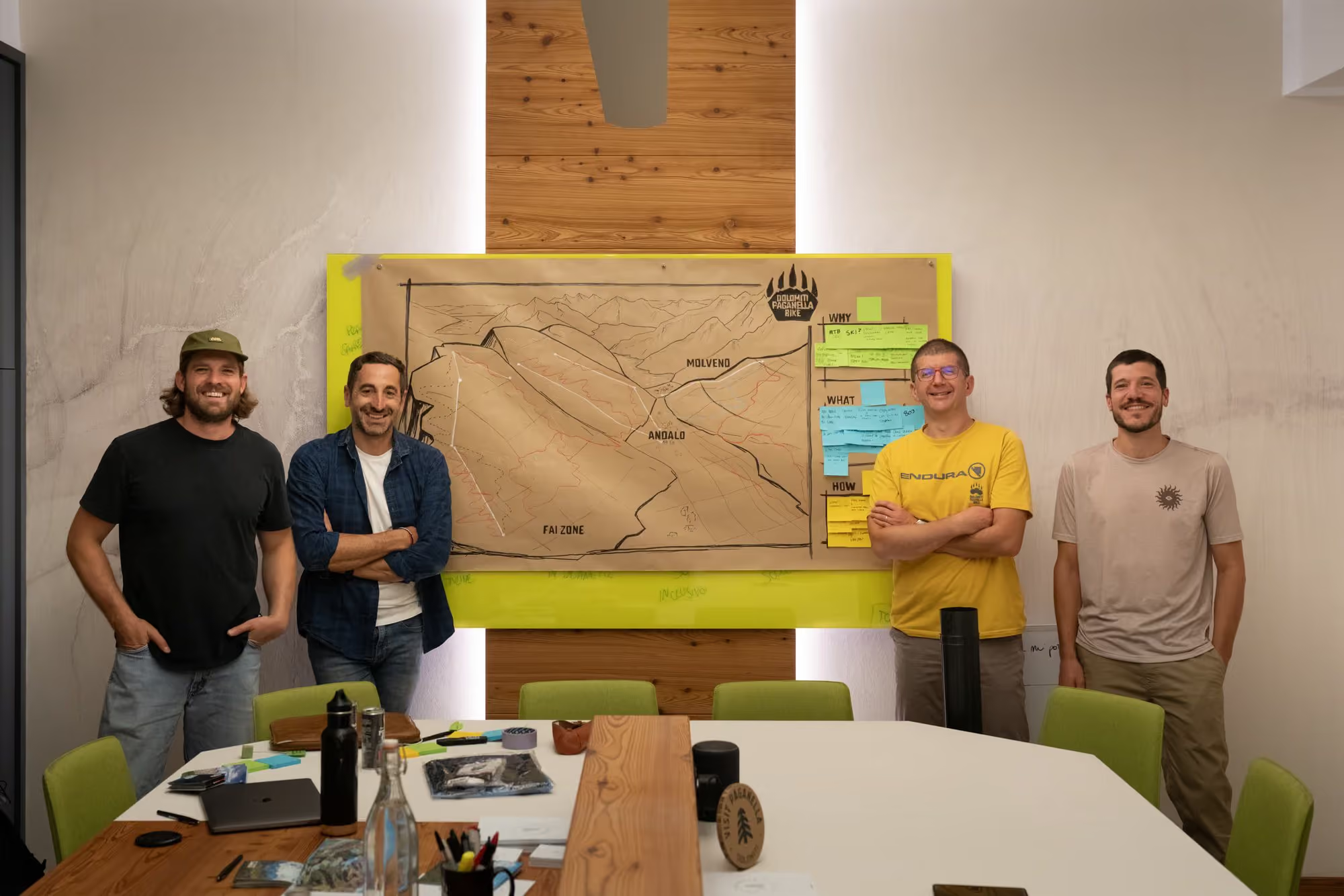
Thanks to Luca, Lorenzo, Filippo, Frankie, Gianmarco, and the team at Dolomiti Paganella.
Start the Conversation
Contact