you blaze trails.
we DRAW them.

We're skiers. Riders. Travelers.

We design full map systems that reflect how a place actually feels. Because we understand the experience from the inside out.

Emberhouse was built on a simple belief:

A map is often the first interaction someone has with a place and one of the last things they remember.

Our goal is for our maps to reflect how a place actually feels, and we build them as complete systems designed to grow alongside the destinations they represent.

We belive that the best maps come from understanding a place firsthand. Whenever possible, we spend time on the ground with the people who know it best, learning how visitors actually move through the terrain.

our process

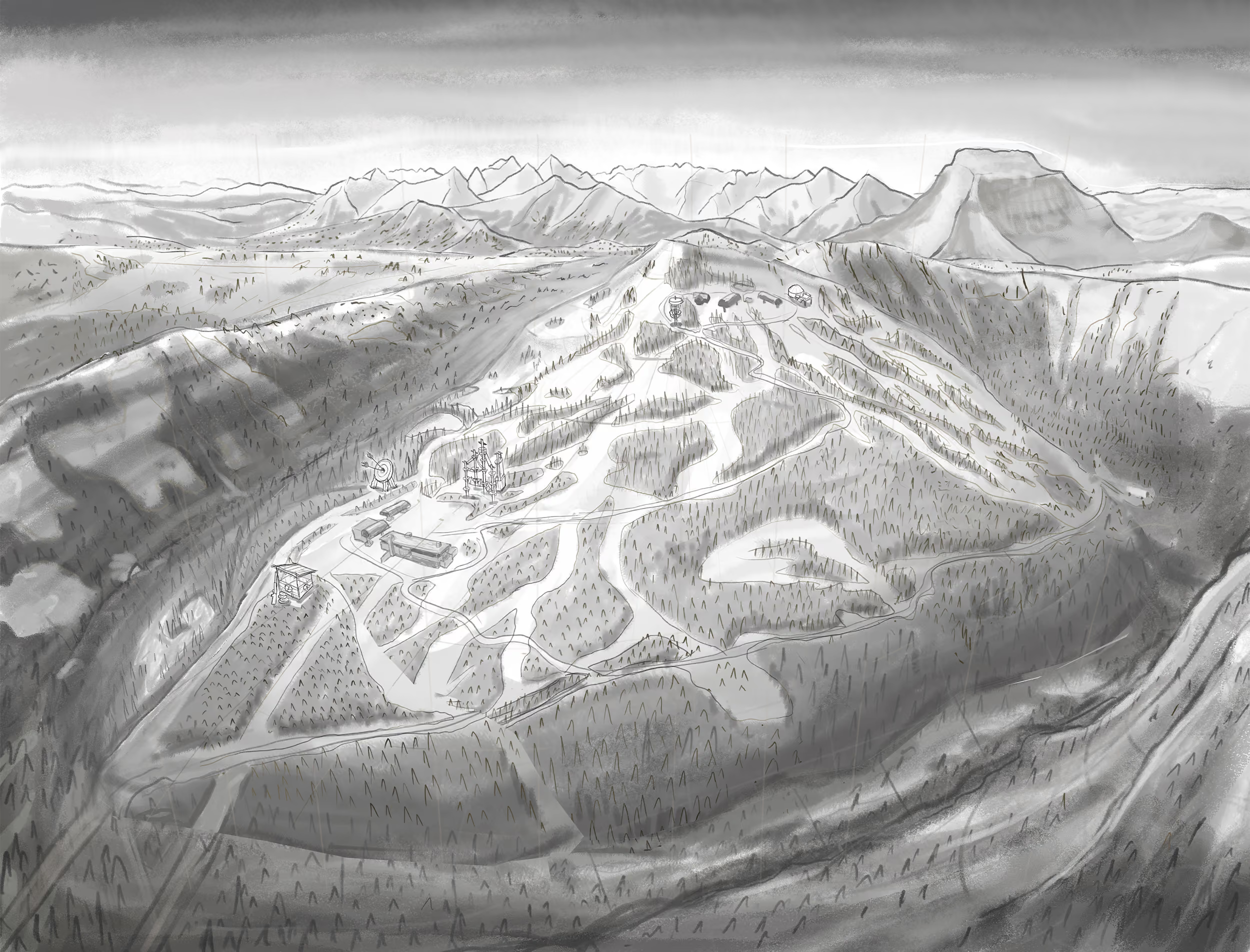
1. Sketch

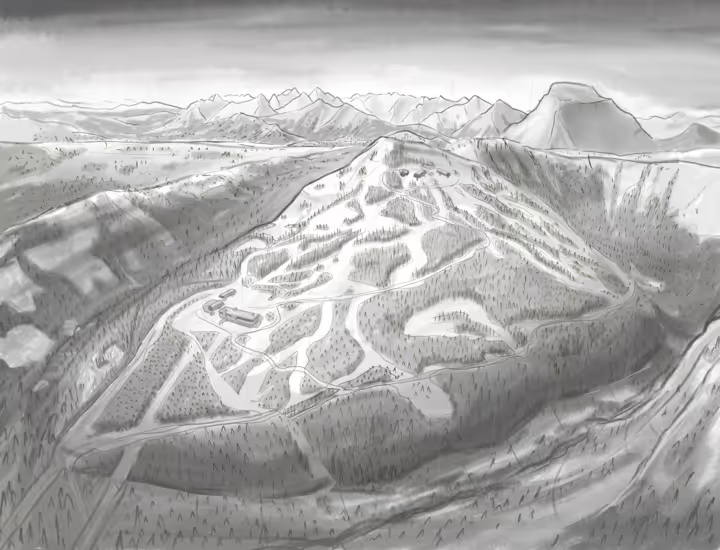
Every project begins with a detailed terrain sketch. In this phase, we align on perspective, camera angle, terrain orientation, composition, and overall style. We'll also establish the initial color direction so we're aligned before moving into full illustration.

Terrain sketch stage of the Emberhouse mapping process

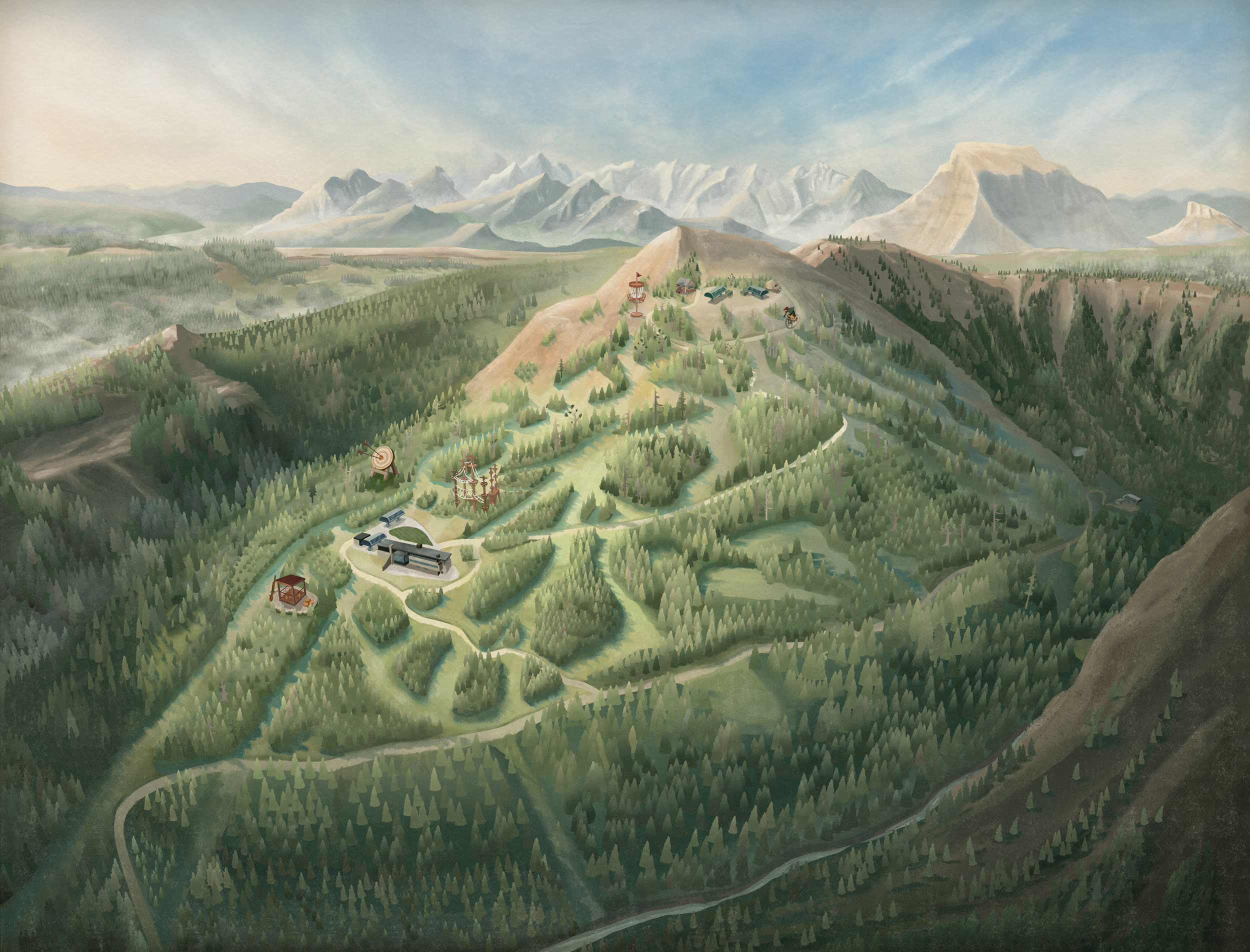
2. Illustration

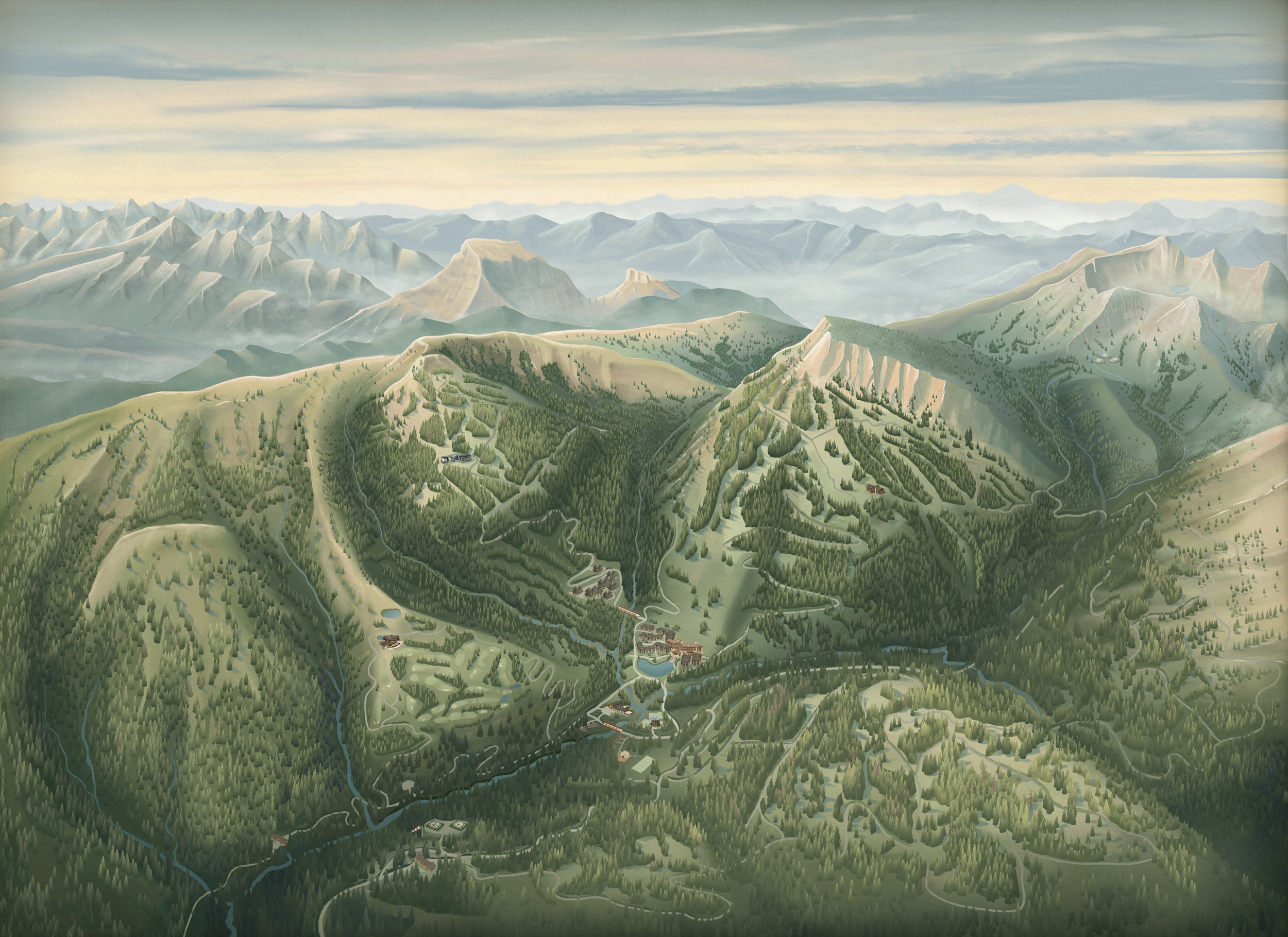
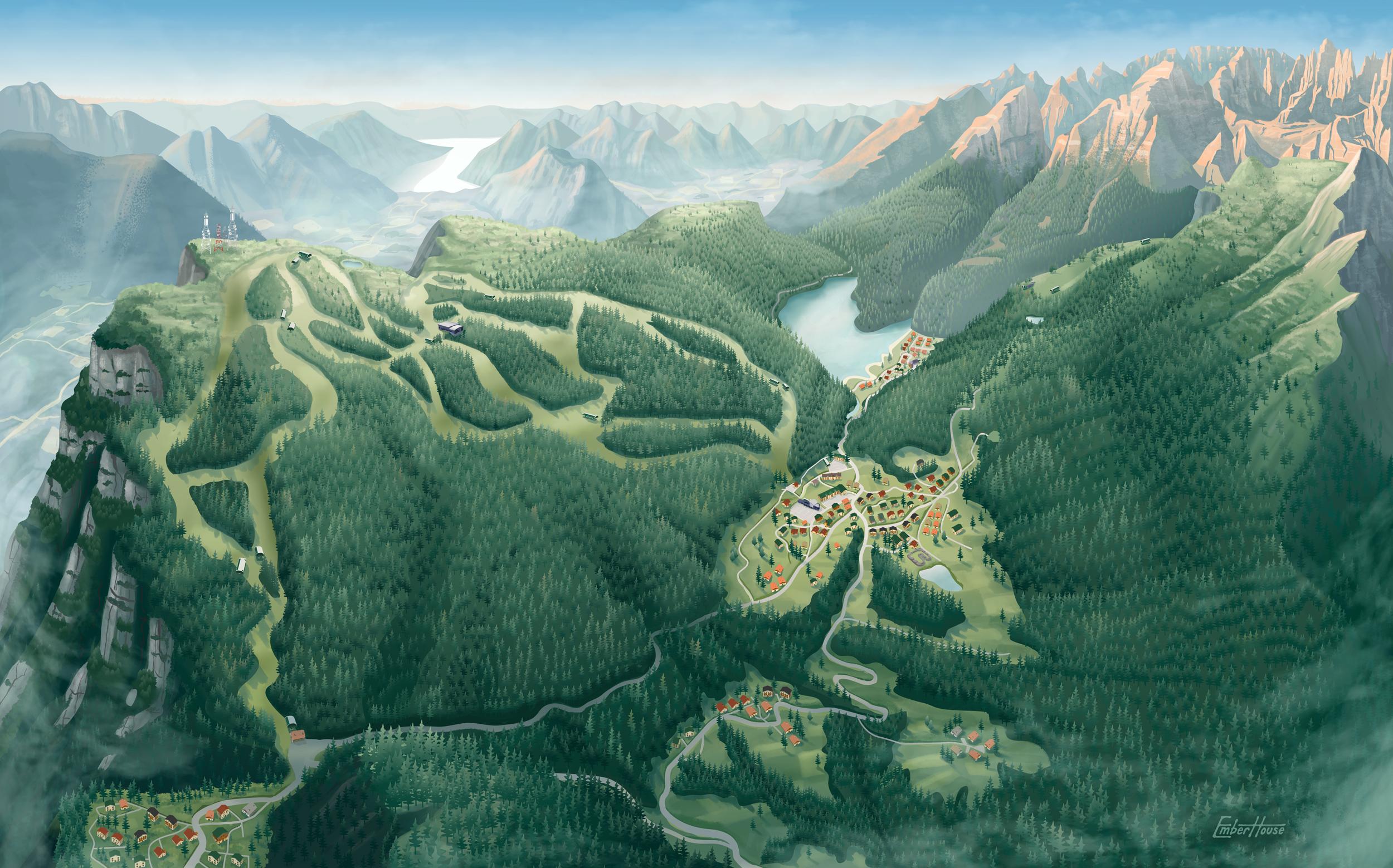
We build the final map using Adobe Illustrator and Photoshop, creating a fully digital, layered illustration. This approach allows for precise detailing and ensures your map can evolve over time; whether that means new trails, updated amenities, or expanded development.

Digital illustration stage of the Emberhouse mapping process

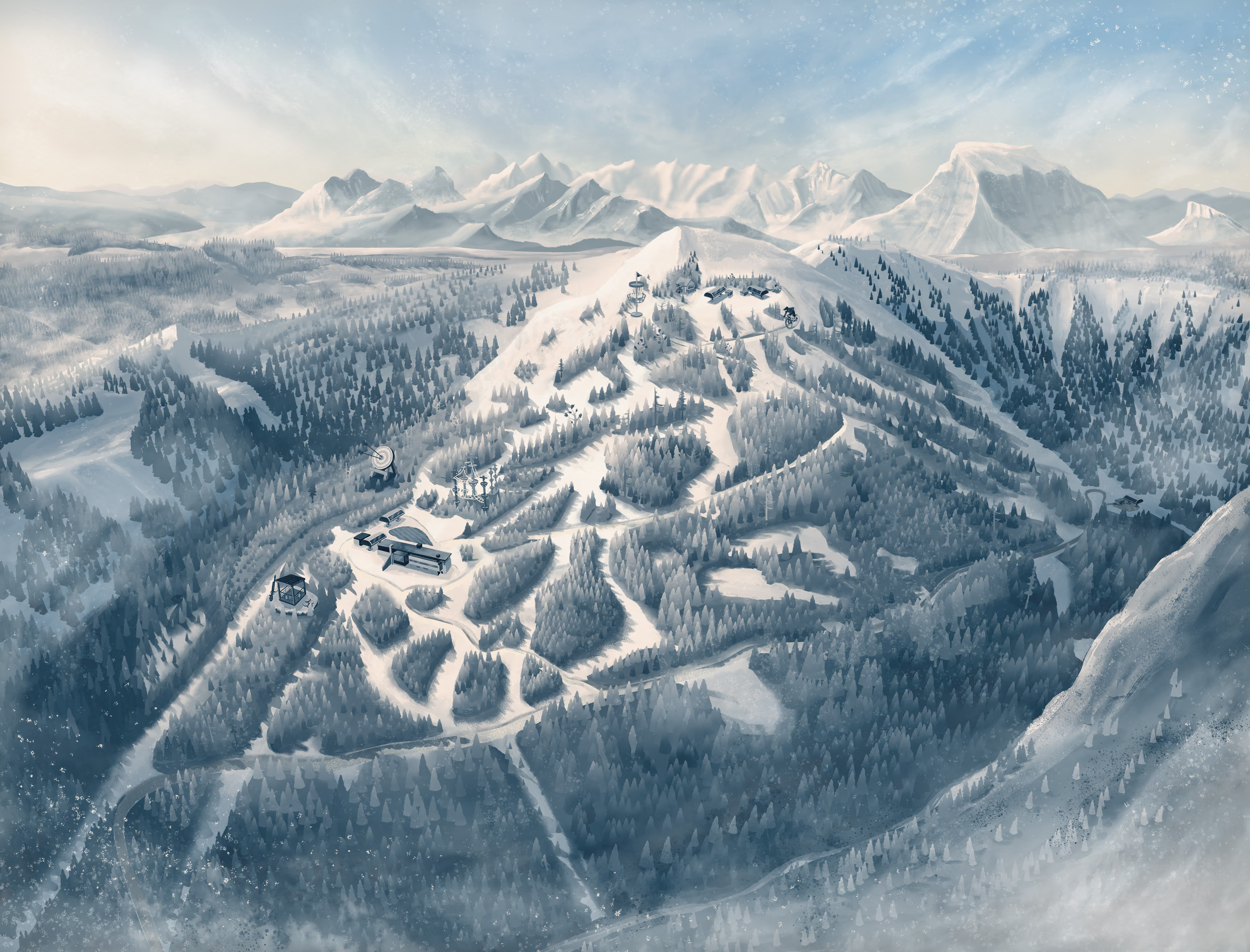
3. Seasonal Skins

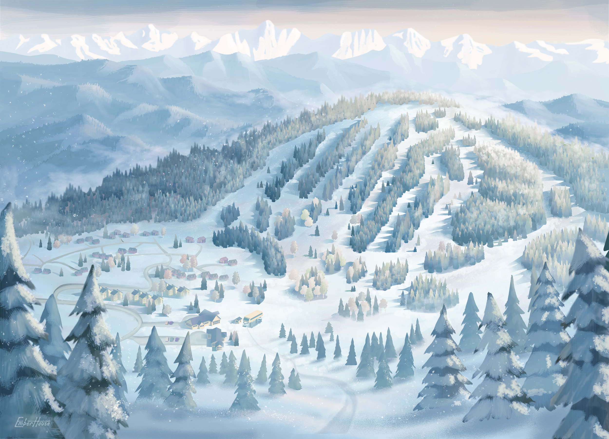
Because our maps are built digitally, seasonal transitions do not require starting over. A winter or fall version builds on the existing illustration instead of beginning again from scratch.

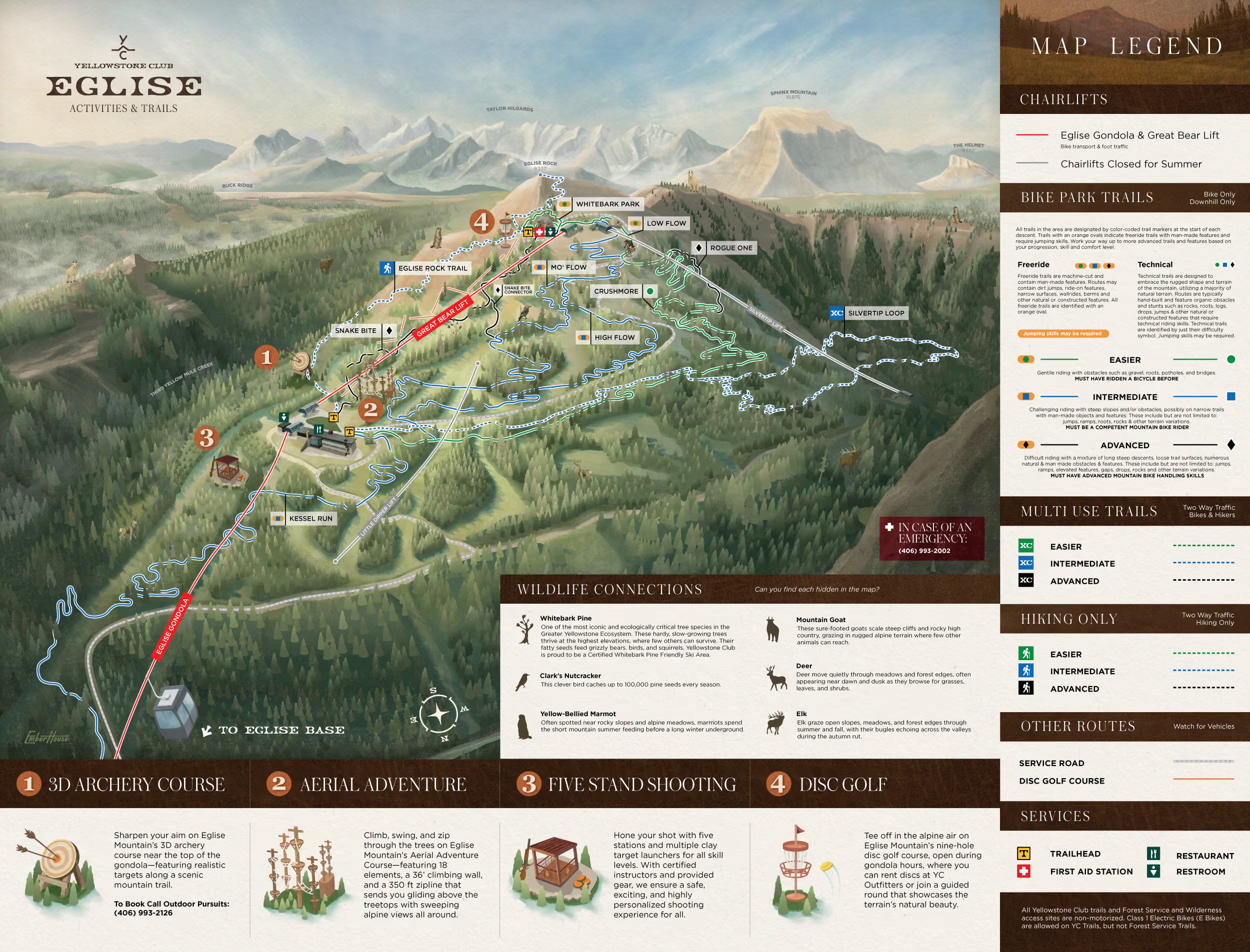
4. Design

We're a full-service mapping studio. Beyond terrain illustration, we design the complete map system: trails, lifts, routing logic, legends, typography, keys, callouts, and production-ready files. Everything is developed cohesively, ensuring clarity, consistency, and brand alignment across platforms.

Map system design stage of the Emberhouse mapping process

5. Interactivity

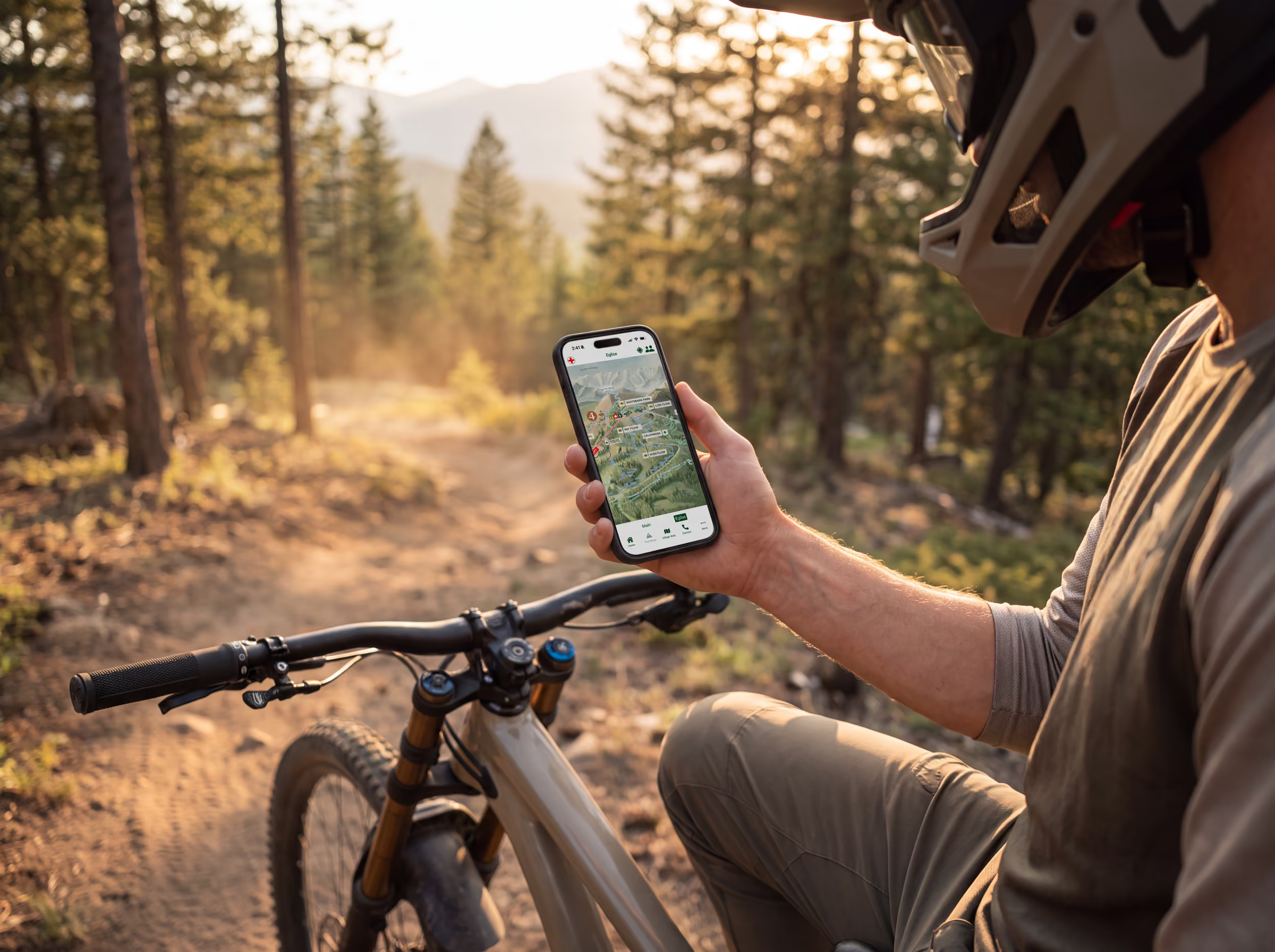
Maps no longer live solely on a wall or in a PDF. If you're ready to move beyond static files, we collaborate with developers to transform your illustrated map into a dynamic digital experience designed for web, mobile, and interactive environments.

our clients

Yellowstone Club
Big Sky, Montana
45°14'48.6
-111°22'37.5
yellowstone-club
Dolomiti Paganella
TRENTINO, ITALY
46.1375661073104
11.03017527361605
dolomiti-paganella
Granby Ranch
Granby, Colorado
40.04462343630923
-105.904837707969
granby-ranch
Jasper National Park
Jasper, Canada
52.87
-118.08
jasper-national-park

the team behind the maps.

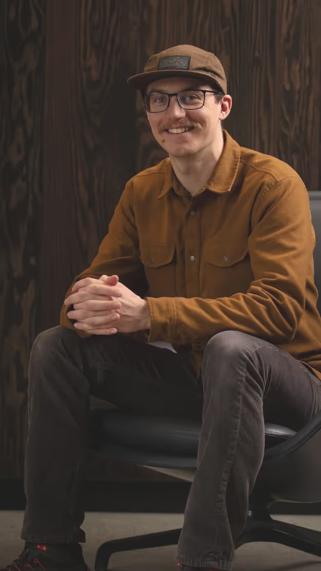
TREVOR HUMPHRES

VISUAL STRATEGIST & MAP ILLUSTRATOR

Trevor is our lead illustrator, bringing the soul into the maps you see here. His work defines the tone and atmosphere of every project.

READ MORE
Trevor Humphres

Trevor’s work sits at the intersection of terrain, storytelling, and emotion. His background in snowboarding, mountain biking, and surfing informs how he sees and draws landscapes, bringing a lived understanding of movement, scale, and flow into every map.

Raised in the Black Hills of South Dakota, his connection to the outdoors continues to shape his approach. He believes maps should do more than guide, they should make people feel something. His illustrations are rooted in atmosphere and memory, often evoking warmth, adventure, and a sense of place that pulls people in before they ever arrive.

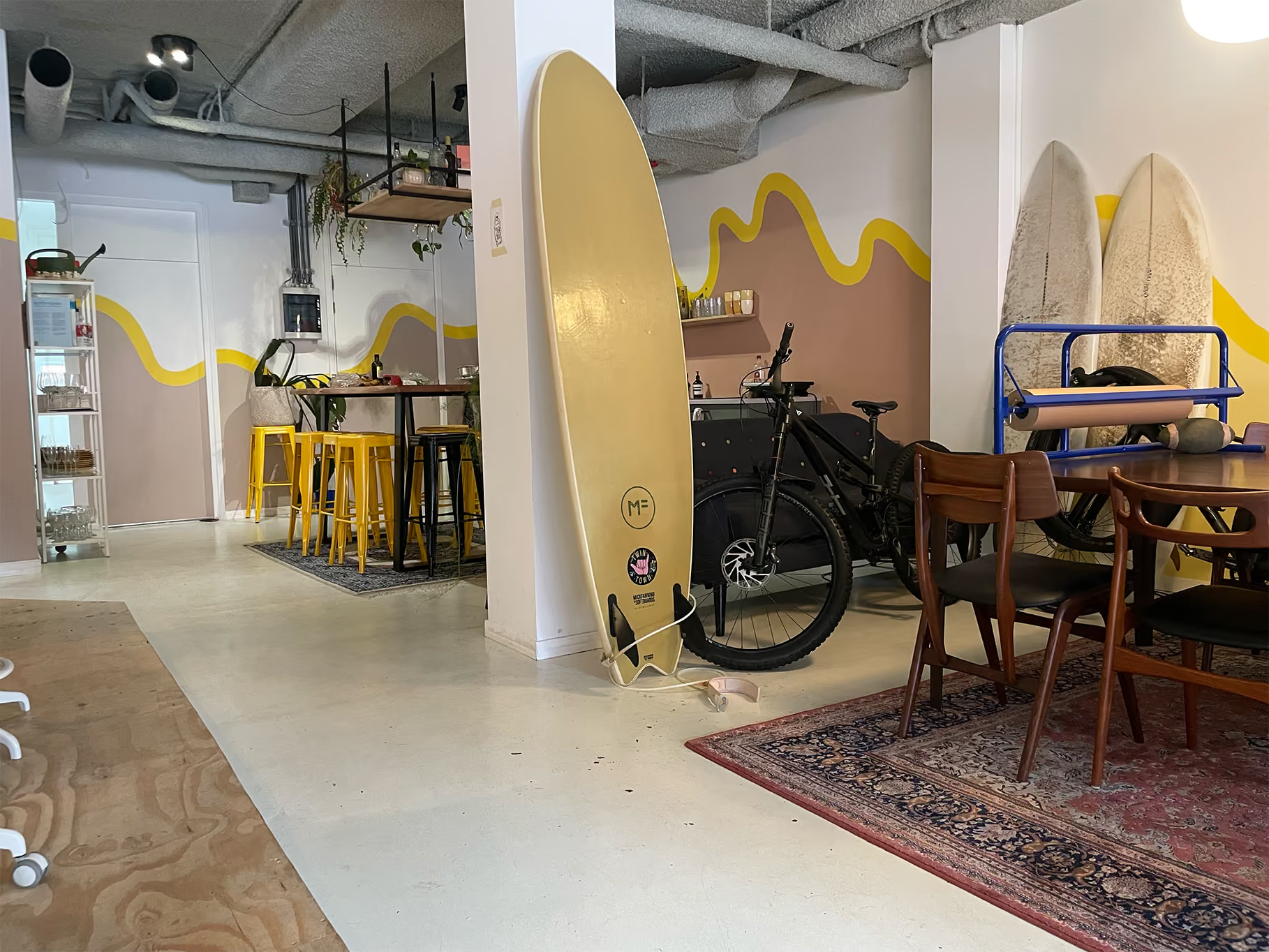
Today, Trevor is based in Scheveningen, The Netherlands, known as the surf capital of Northern Europe, where he continues to explore new landscapes and translating them into maps that balance accuracy with feeling.

CHARLES STEMEN

CREATIVE DIRECTOR & DESIGN LEAD

Charles guides the visual clarity of projects, ensuring alignment with brand goals. He also leads design work on top of the illustrated maps.

READ MORE
Charles Stemen

Charles leads visual direction and brand integration across every Emberhouse project, shaping how each map reflects the identity and feel of a place. With a background spanning photography, branding, and digital design, he approaches maps as complete experiences, balancing clarity with emotion and ensuring the work connects as both a functional tool and a meaningful brand asset.

Following illustration, Charles leads the design of the full map system, translating terrain into clear, usable outputs across print and digital. From trails and lifts to keys, typography, and layout, he ensures every layer works together seamlessly and holds up in real world use.

Shaped by years spent skiing, biking, and working within mountain environments, his perspective is grounded in how places are actually experienced. Charles is located in Bozeman, MT and You can usually find him on the ridge at Bridger Bowl or out exploring local trails.

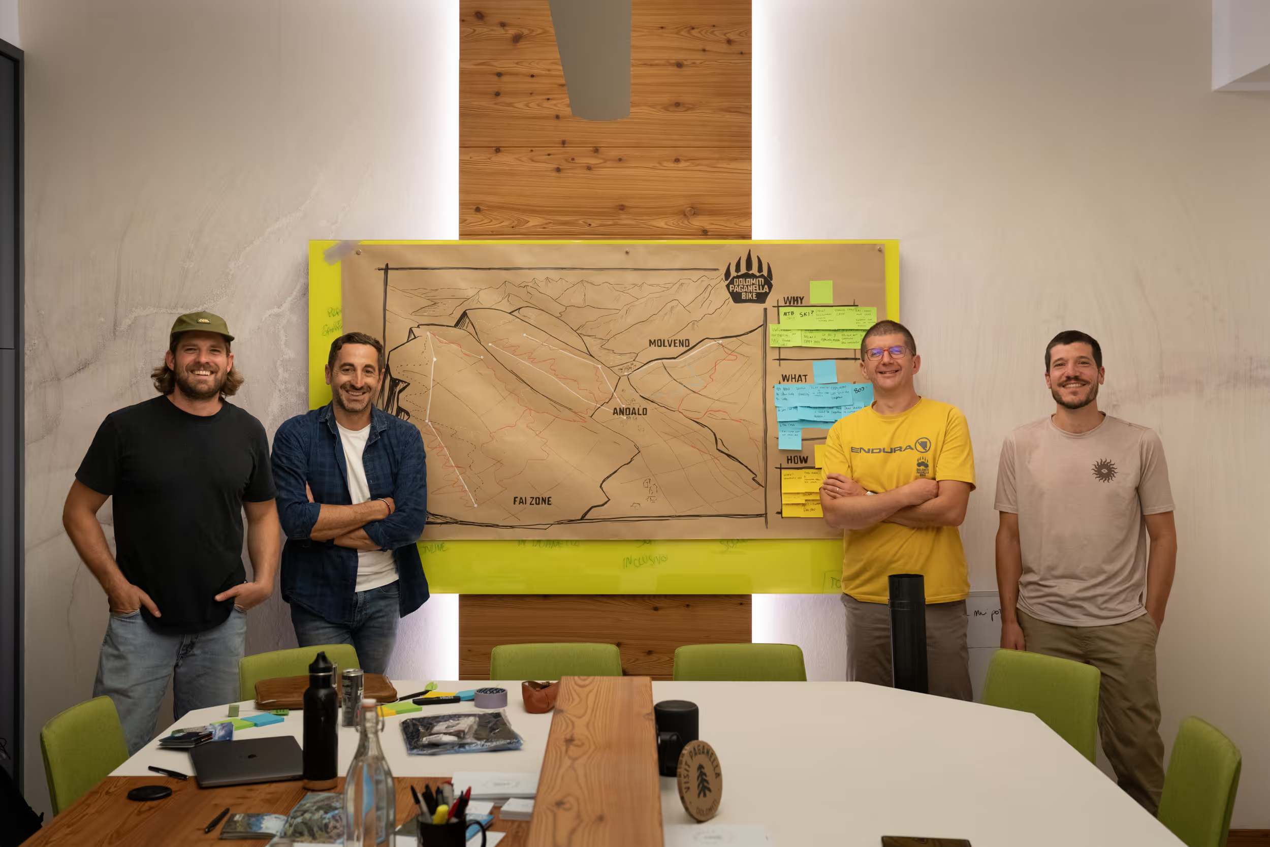
We met in Winter Park, Colorado, skiing, riding, and spending as much time on the mountain as possible. Trevor was instructing, Charles was leading design at the resort, and our paths crossed through photoshoots, trail maps, and a shared love for being outside.

We both spent years immersed in these environments, not just working in them, but living them. Riding trails, exploring terrain, and seeing firsthand how people move through a place. That perspective stuck with us.

After going on to build our own studios, we kept coming back to the same idea. Resorts had strong trail maps, but much of the surrounding experience was left out. The base areas, the movement through town, the full picture of how a place is actually experienced.

So we built one. An illustrated map of the Winter Park base, the place where we first met, and shared it with the team. The response was immediate. It felt different, and more reflective of the place.

That moment became the foundation for Emberhouse. A studio built on the belief that maps should capture more than just where things are, they should reflect how a place feels.
our offices

Bozeman, MT USA

MST

The Hague, The Netherlands

CET

We couldn't be happier with the finished trail maps created by Emberhouse. The new maps transformed the entire experience, bringing the mountain to life with stunning illustrations while making navigation far more intuitive for our member and guests. The attention to detail, creativity, and collaborative process exceeded our expectations. These maps have become one of the most beautiful and useful resources we provide, and we highly recommend them!

Kelsey Chapman

Director of Marketing Yellowstone Club

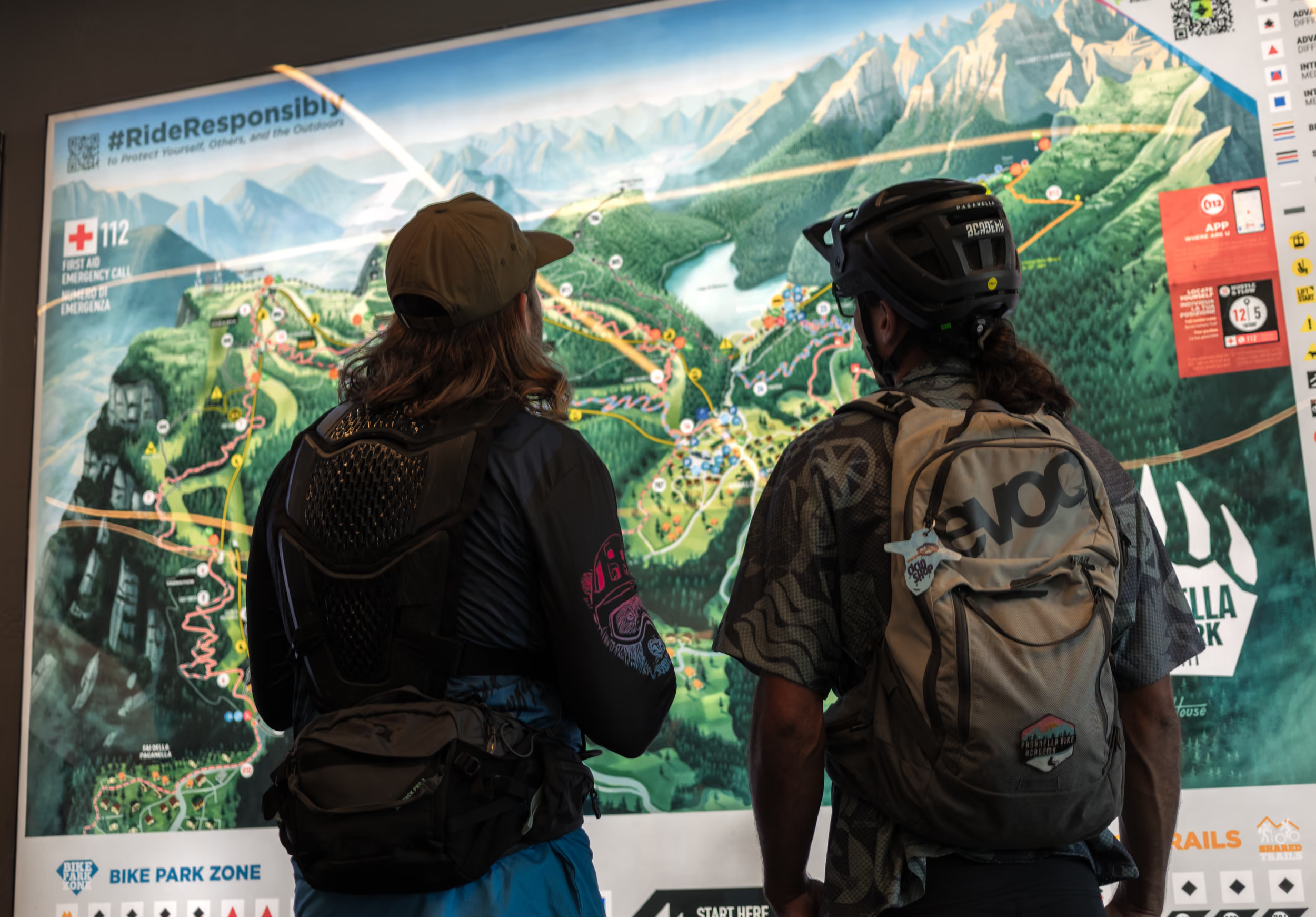
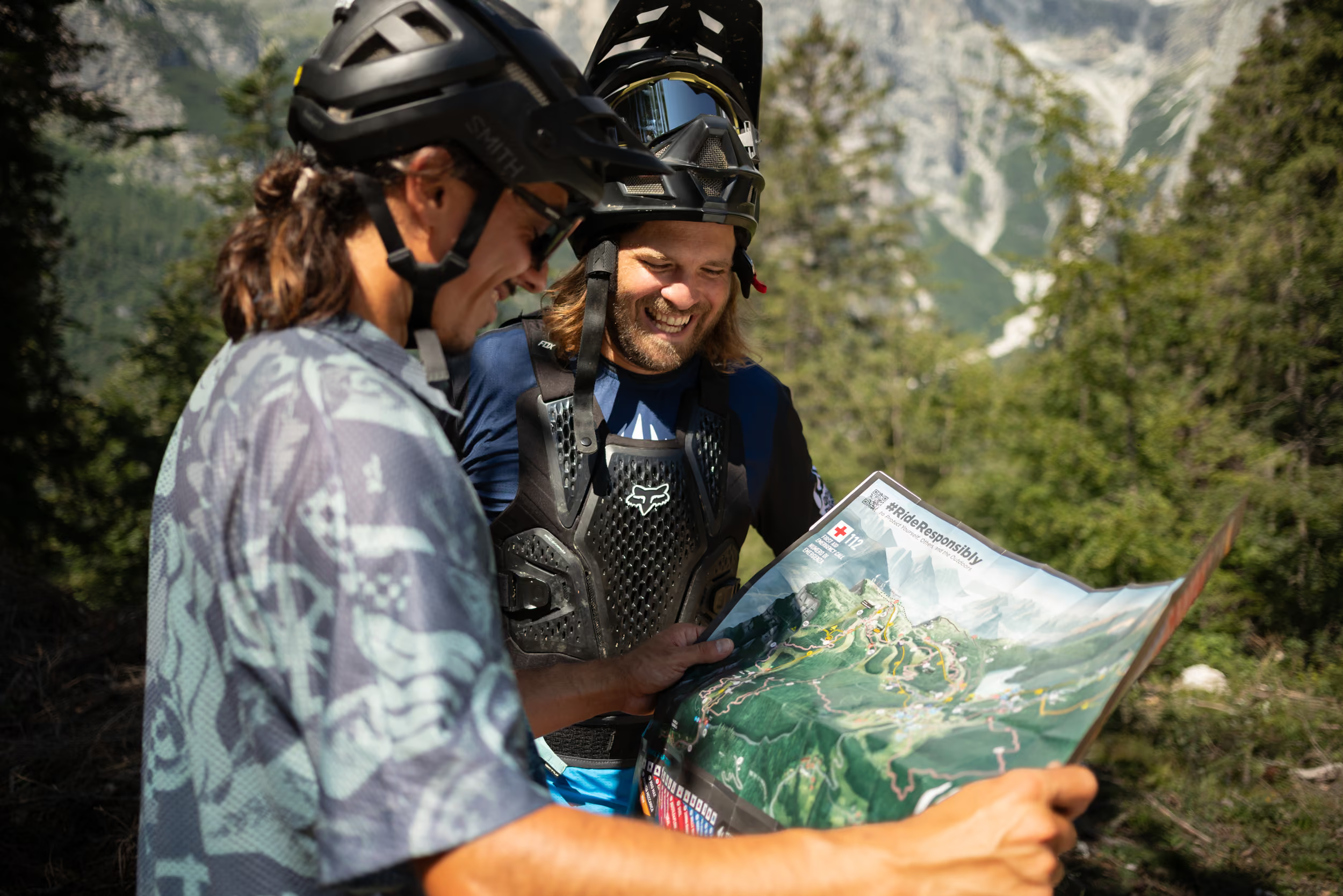
We had a super positive experience working with the Emberhouse team. They Brought a highly professional and clear approach to our main challenge: making our Bike Park easier to navigate. The team completely nailed it, delivering a map that is not only clear and immersive, but also beautifully tells the story of our territory and captures its unique essence. Well done!

Luca d'angelo

Destination Manager & Executive Director Dolomiti Pagnanella Bike Park

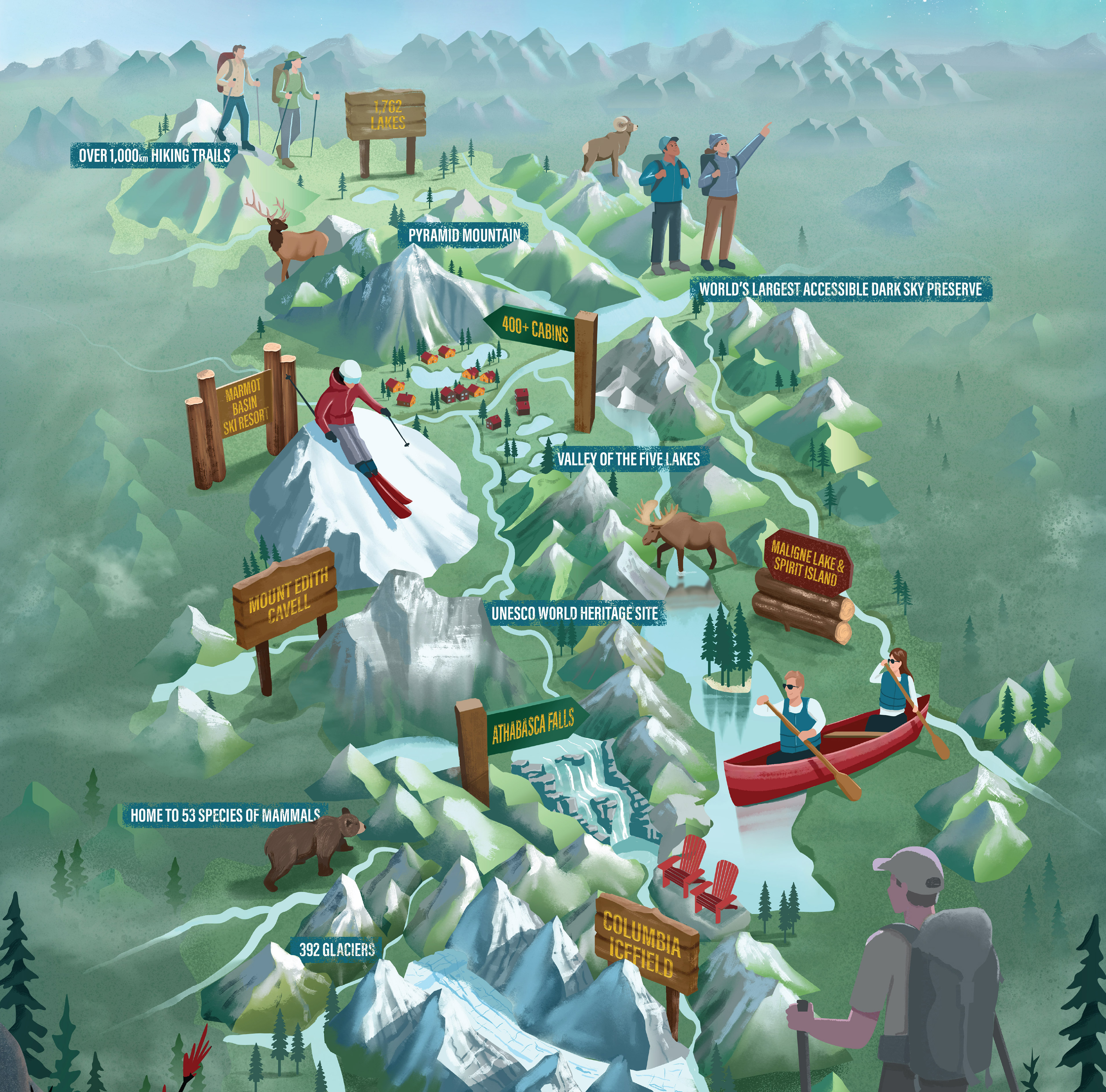
Trevor and Charles helped us bring our vision to life! Using a combination of facts, map and illustrated icons, they not only effectively told Jasper's story, they made it beautiful. We're excited to use the result in many of our communication products. Did I say we’re really happy with the results?!!

MYRIAM BOLDUC

Director of Marketing @ Tourism Jasper

×
Subtotal$0
Continue to Checkout